Aerial Photography

Aerial Photography
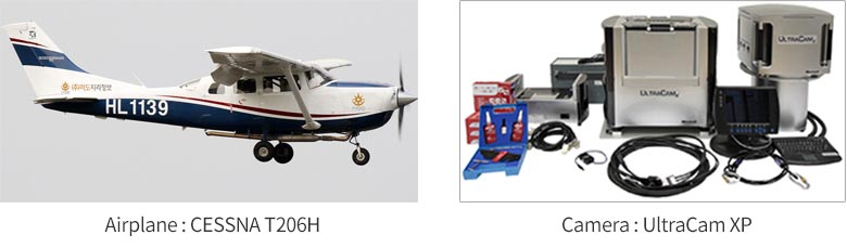
The term aerial photography refers to the precise, stereoscopic capture of target areas using survey cameras mounted on aircraft. This method is designed to efficiently survey large or difficult-to-access regions, capturing images with a specific overlap to ensure accuracy and coverage.
Sample Image
Application Areas
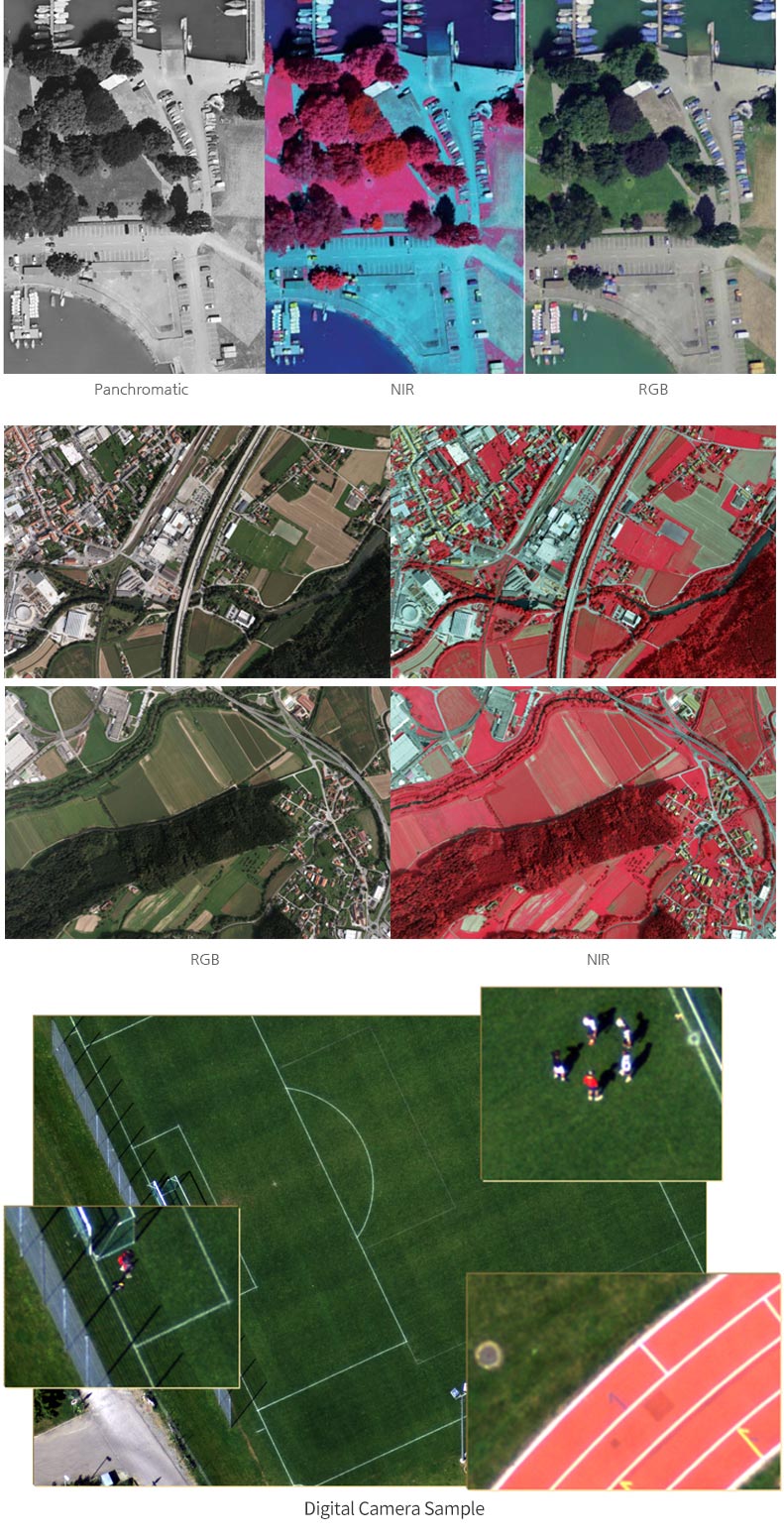
▶ Interpretation of unauthorized buildings, Production of digital and image maps
▶ Design for civil engineering and construction sites
▶ Use as foundational data for various research projects
Mido Geographic Information System   |   CEO: Yongho Jang   |   Business Registration Number : 127-86-08276
Head Office : Room 302, 170 Jungang-ro, Sin-eup-dong, Pocheon-si, Gyeonggi-do, Republic of Korea   |   Tel : +82-31-535-8754   |   Fax : +82-31-535-8754
Seoul Branch : Room 1208, BYUCKSAN Digital Valley 5th, 244 Beotkkot-ro, Gasan-dong, Geumcheon-gu, Seoul, Republic of Korea   |   Tel : +82-2-866-6866   |   Fax : +82-2-866-8754
Copyright ⓒ 항공사진판독.kr / 공간정보.net / midogis.co.kr All rights reserved.