
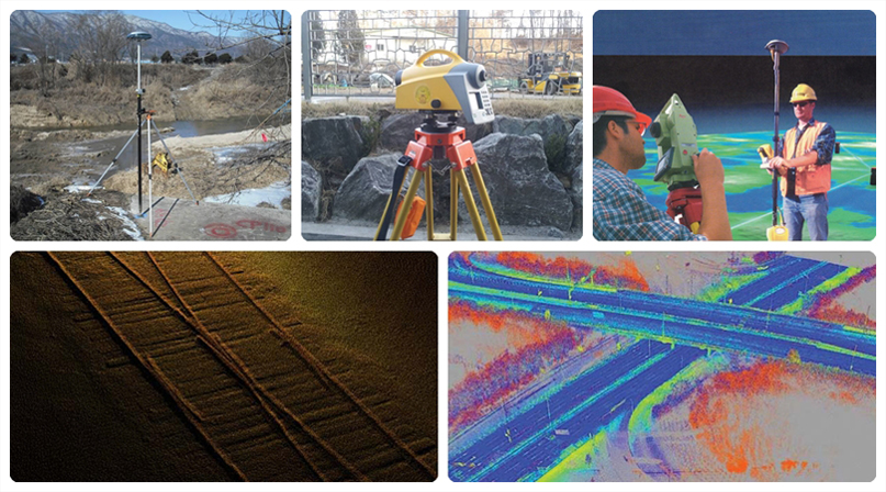
| Geodetic surveying is a technique used to determine the geometric positions of all objects on the Earth's surface. It involves collecting both qualitative and quantitative information such as distances, angles, directions, elevations, and areas. This data is used to accurately measure, record, and map the Earth's surface on a specific scale. |
| Underground utility survey and detection refers to the process of investigating the depth and horizontal position of seven major types of underground infrastructure — including water supply, sewage, electricity, gas, heating, telecommunications, and oil pipelines. This work involves collecting precise spatial data to produce foundational GIS (Geographic Information System) data for mapping and management purposes. |
| ▶ GNSS Phase Surveying ▶ High-Precision Control Point Surveying (National Geodetic Control Points) ▶ Applied Surveying (Tunnels, Dams, Bridges) ▶ Coastal Surveying (Navigation Routes, Water Depths, Dredging, Shoreline Changes) ▶ Water and Sewer Pipeline Survey and Detection ▶ Survey and Detection of Power Lines, Communication Lines, Oil and Gas Pipelines ▶ Surveying of Roads and Other Infrastructure Facilities |
 |
|
||