
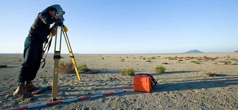
| Cadastral surveying is the process of determining the boundaries, coordinates, and area of each land parcel, either by the authority’s initiative or upon the request of an interested party. This is done for the purpose of registering land in cadastral records or restoring boundary markers already registered. |
| ▶ Restoration Surveying to recover damaged or lost cadastral records ▶ Initial Registration Surveying for newly registered land parcels ▶ Registration Conversion Surveying to convert existing records to digital or updated formats ▶ Subdivision Surveying for dividing land into separate parcels ▶ Surveying for Deregistration of land submerged by the sea ▶ Scale Conversion Surveying to change the map scale ▶ Correction Surveying to amend cadastral registration details ▶ Definitive Surveying due to land changes from urban development projects, etc. ▶ Inspection Surveying to verify surveys conducted by authorized cadastral service agencies ▶ Boundary Restoration Surveying to re-establish boundary markers on the ground ▶ Current Status Surveying to compare and reflect the location of above-ground structures against existing cadastral or forest maps |
 |
|
||