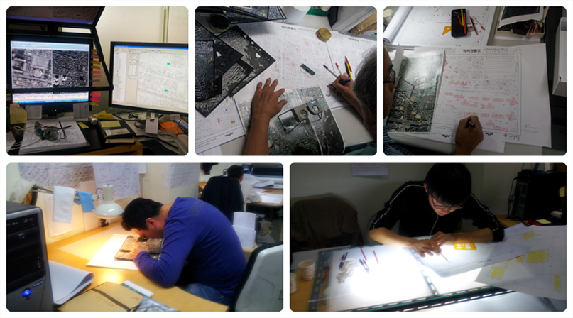
It refers to the technology of identifying objects such as terrain and features using aerial photographs, and obtaining various types of topographic information from them.
Mido Geographic Information System | CEO: Yongho Jang | Business Registration Number : 127-86-08276
Head Office : Room 302, 170 Jungang-ro, Sin-eup-dong, Pocheon-si, Gyeonggi-do, Republic of Korea | Tel : +82-31-535-8754 | Fax : +82-31-535-8754
Seoul Branch : Room 1208, BYUCKSAN Digital Valley 5th, 244 Beotkkot-ro, Gasan-dong, Geumcheon-gu, Seoul, Republic of Korea | Tel : +82-2-866-6866 | Fax : +82-2-866-8754
Copyright ⓒ 항공사진판독.kr / 공간정보.net / midogis.co.kr All rights reserved.