
| A digital map refers to a representation of various geospatial information — including surface, underground, underwater, and spatial locations, as well as terrain, features, and place names — in a digital format based on a specific scale, created and managed using a computerized system. |
 |
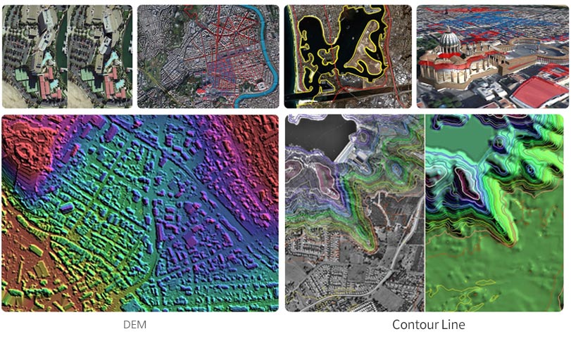
| An orthophoto (Ortho-Photo) is an aerial or satellite image that has been geometrically corrected (orthorectified) to remove distortions caused by terrain relief. This correction ensures that every point in the image has a uniform scale, allowing the image to be used like a map for accurate distance and area measurements. Essentially, it is a photograph that has been adjusted so that it represents the Earth's surface as if viewed from directly above, without any topographic distortion. |
 |
|
||